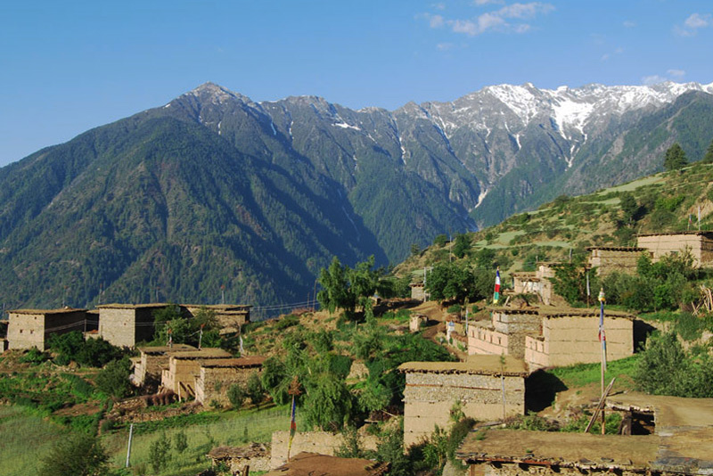
Simikot Rara Lake Trek
The Simikot-Rara Lake Trek is a unique and off-the-beaten-path trekking route in Nepal that takes you from the remote town of Simikot to the pristine Rara Lake, the largest lake in Nepal. This trek offers a blend of natural beauty, cultural experiences, and a sense of adventure.
Alternatively, this trek can also be undertaken in reverse, beginning from either Mugu or Jumla and ascending from there. To travel from Kathmandu to Simikot, most travelers typically need to fly through Nepalgunj, the regional hub of Western Nepal. There is no direct air service available between Kathmandu and Simikot. Flights from Nepalgunj to Simikot always depart early in the morning. Therefore, it is necessary for us to spend a night in Nepalgunj in order to catch the early morning flight the following day.
Simikot-Rara Lake Trek Highlights
Simikot-Rara Lake Trek takes you through the Southern Humla region, offering incredible views of foothills, hills, mountains, lush forests, and arid lands. The trail follows the Karnali River, which is the longest river in Nepal. Along the way, it passes through several village settlements inhabited by different ethnic groups such as Khasas, Thakuris, Brahmins, and Byansis. The journey concludes at Rara Lake, the largest lake in Nepal, located within the boundaries of Rara National Park. The area serves as a habitat for numerous species of trees, plants, birds, and animals.
Here are some of the highlights of the Simikot-Rara Lake Trek.
Remote Landscape: The trek takes you through remote and rugged landscapes, providing a sense of isolation and tranquility as you journey through relatively untouched areas.
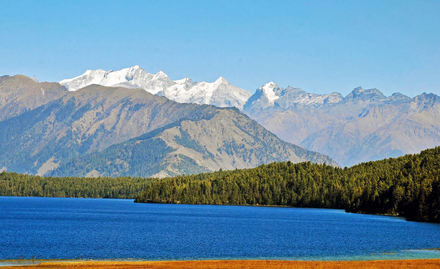
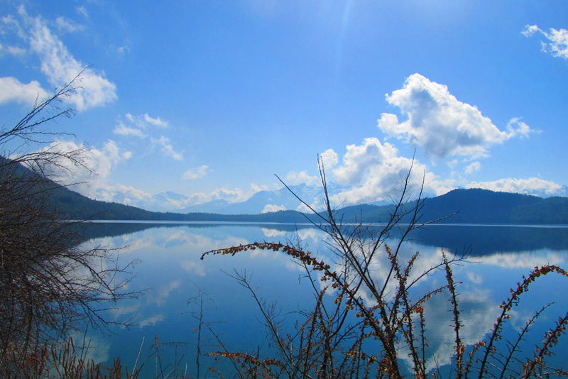
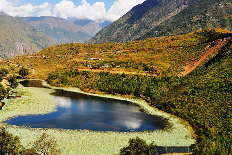
Rara Lake: The centerpiece of the trek is Rara Lake, a stunning alpine lake surrounded by snow-capped peaks and lush forests. Its clear blue waters and serene surroundings create a breathtaking sight.
Rich Biodiversity: The Rara region is home to a variety of flora and fauna, including different species of birds, mammals, and colorful flowers. You might spot wildlife such as red pandas, Himalayan tahr, and musk deer.
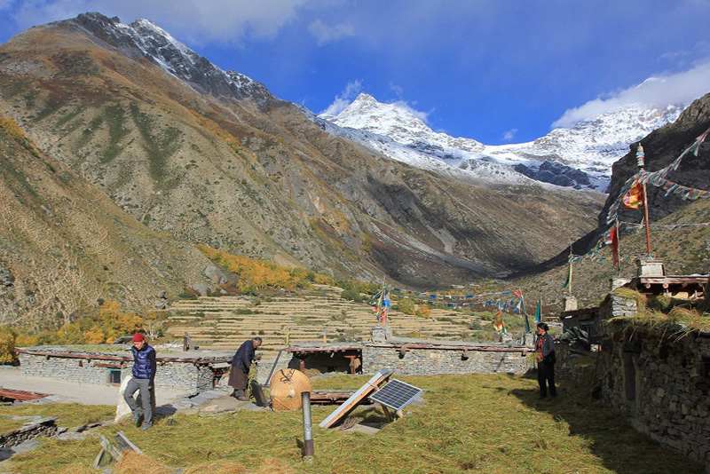
Cultural Diversity: The trek passes through villages inhabited by different ethnic groups, including the Thakuri and Magar communities. This provides opportunities to learn about their cultures, traditions, and way of life.
Unique Route: The Simikot-Rara Lake Trek is less frequented by trekkers, offering a more authentic and secluded experience away from the crowds.
High Passes: The trek involves crossing high passes and traversing challenging terrains, adding an adventurous element to the journey.
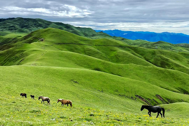
Natural Beauty: The landscapes vary from terraced fields and dense forests to high alpine meadows. The ever-changing scenery keeps the trek interesting.
Remote Villages: The trek passes through remote villages where you can interact with locals, observe their daily lives, and learn about their traditional practices.
Off-the-Beaten-Path: If you’re looking for a trek that’s off the beaten path and offers a quieter and more secluded experience, the Simikot-Rara Lake Trek is an excellent choice.
The Best time for Simikot-Rara Lake Trek
The best time for the Simikot-Rara Lake Trek is during the pre-monsoon spring season (March to May) and the post-monsoon autumn season (September to November). These months offer the most favorable weather and trekking conditions for a successful and enjoyable trek. Both spring and autumn offer excellent trekking conditions, and your choice between the two depends on your preferences. Spring is known for its vibrant flora, lush landscapes, and blooming flowers, while autumn provides clear skies, pleasant temperatures, and excellent photography opportunities.
When you arrive at Tibhuvan International Airport, our guide will pick you up and take you to your hotel in the bustling Thamel district of Kathmandu. Depending on your arrival time, you can choose to relax for the next journey, see the city’s attractions, or shop for adventure gear in one of Kathmandu’s many adventure supply stores. We’ll assemble our bikes and be ready for the journey in the afternoon.
The flight from Kathmandu to Nepalgunj takes around an hour and a half and is generally reliable. During the trip, we should be able to catch a look of the mountains we will be hiking in over the next few days.
The early morning flight to Jumla (35 minutes). This is one of the highest rice-growing regions and the entryway to the Northwest wilderness. Unique red rice is tastier than white rice, yet most Nepalis dislike it. Airport is 10 minutes further from Jumla Bazaar; we will explore Jumla and its environs. Spend the night in a tent camp.
The trail to Rara follows the north bank of Tila Khola, then turns up the other small stream, as we set off after breakfast today. The Jumla Valley vanishes behind the ridge as the trail follows the river, passing through fields and pine forests while remaining relatively level. Now the walk begins an elevation up Padmara Valley, which becomes increasingly steep as it progresses. We have lunch in the proper location. As the trail ascends through a dense forest of pines, spruces, and firs, the canyon along the Padmara valley becomes quite narrow, with sheer cliffs on either side. Finally, we reach the final village of Padmara, whereupon we continue trekking until we reach Danphe Langa. Spend the night in a tent camp.
We resume our trek after breakfast. The trail descends steeply through fir, birch, walnut, and bamboo forests. A brief section of the trail zigzags down to the Sinja Khola, where it crosses on a wood bridge and continues downstream to Nyawer. The ascent continues as we traverse marijuana farms and cross a mountain into a side valley. Now the trail makes a sharp turn into a large valley and falls until it reaches Chautha, where the severe ascents resume. Spend the night in a tent camp.
Today, the rough path follows the creek uphill, crossing it as the valley’s woods become more confined. Our permits are examined at Bhulbhule, where the ascent resumes. Above Bhulbhule, the trail opens into a vast treeless plain and ascends gradually but steadily to a collection of Chortens, cairns, and prayer flags atop the Ghurchi Lagna. From this vantage point, one can see the Mugu Karnali River and the high peaks bordering Tibet. The walk descends gradually on a broad roadway to a chalet, and then drops steeply through spruce forests on a difficult path. Descend to the Jhyari Khola after following the direct path to Rara Lake, which remains quite flat through pine trees. Dhotu is accessible via an additional stretch of easy walking. Spend the night in a tent camp.
Today, we begin our hike by crossing a stream and ascending steeply to Thakuri Village in Jhyari, which is situated in a lovely grove of towering cedars. Then, we continue hiking through cedar forests to a vast meadow on a ridge with a spectacular view of Rara Lake. Descends on the lake’s northern shore, where camping grounds are accessible. Spend the night in a tent camp.
Today, we are touring Nepal’s largest lake. A day committed to completing the nearly 13-kilometer lake circle is well spent. On the northern side of the lake are ruins of the now-deserted settlements of Rara and Chapra, but otherwise it is an isolated location where birds, flowers, and wildlife thrive. Rara is the largest lake in Nepal, and it is surrounded by Rara National Park in the Karnali district. This region is rich in wildlife, including musk deer, leopard, ghoral, tahr, Himalayan black bear, and the endangered red panda. The lake’s water is incredibly clean, and the surrounding environment is breathtakingly beautiful. A day of rest and acclimatization will be spent here. In the far west, the Great Himalaya Trail offers two options: 1) From Gamgadhi to Simikot and the Yari Valley 2) Travel overland from Rara Lake to Kolti and Chainpur, and then on to the Mahakali Nadi (river) in India. We will take the Gamgadhi to Simikot and Yari route because it is closer to the center of the Great Himalayan Range. Since a crossing to the Mahakali Nadi, which is further to the west, has not yet been discovered, our current GHT endpoint is Simikot, after trekking north to Yari.
Leaving our picturesque rest stop at Rara Lake, we descend to Gamgadhi, turn left at the bazaar, and continue for another 40 minutes till we reach the Karnali bridge. Another four hours will get us to Bala, followed by one and a half hours to Karnali. Spend the night in a tent camp.
We cross the suspension bridge from Karnali and ascend a steep, rocky path that trends to the left until we reach the summit of a ridge at 2,180 meters. We descend to a small river and then ascend through fields and pine woodland to a ridge before traversing to the settlement of Bam. Spend the night in a tent camp.
We travel down a path that contours over hillside till we reach a brook at Ghachar. This point marks the beginning of a about three-and-a-half-hour ascent to the pass; from the pass, it is an easy descent to a picturesque campground near a stream. There is a nearby teahouse 15 minutes before to reaching Jogimara. Spend the night in a tent camp.
We make a simple, brief ascent from Jogimara to a ridge at 3,120 meters, followed by a 500-meter dip to a tiny creek before ascending again and via a landslide region. From here, we can see the lower valley and the Rimi village. We traverse a considerable distance to reach Deori, passing a school before descending to the settlement of Darma. Continuing through the settlement, we descend down a series of steep switchbacks to the main route beside the river, pass a suspension bridge over the Humla Karnali, and then ascend briefly to Piplan. Spend the night in a tent camp.
We continue our hike via the traditional villages of Nimagaon and Korka, ascending a series of switchbacks and crossing a depression between peaks before stopping for lunch by a stream. Apsia Lekh is reached by ascending additional switchbacks in a pine forest while resuming our ascent to the community of Puma. Spend the night in a tent camp.
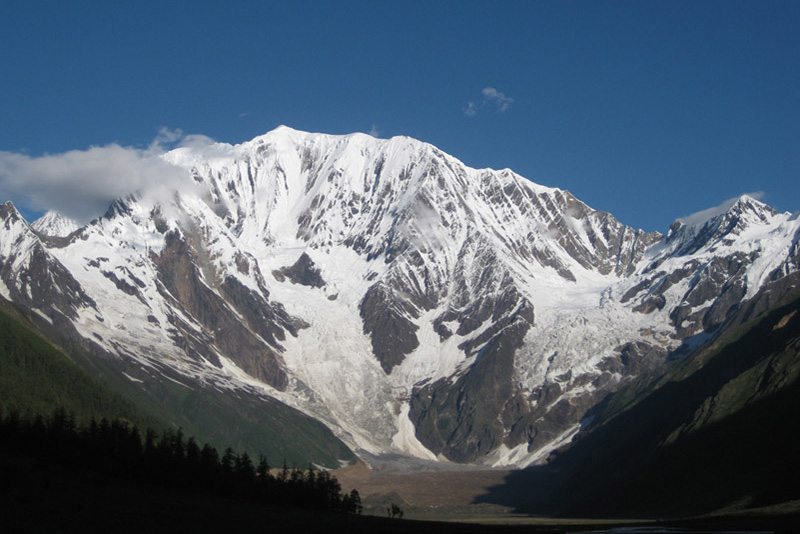
As we follow a contouring path to Kallas today, we have spectacular views of Saipal and the surrounding valleys. From here, we descend to the river, climb a simple path to a ridge, and then drop again to the Rodikot Khola. A further 1.5-hour ascent to the east leads us to our campsite alongside the Punkha Khola. Spend the night in a tent camp.
We begin with a 500-meter ascent over difficult switchbacks to a kharka at 3,512 meters. We continue upward from here, enjoying vistas to the north and south of Simikot. Today, we will go to approximately 4000 meters before descending extremely steeply to the Yanchu Khola. There are a few alternatives for camping today, and there will likely be livestock grazing in the valley. Spend the night in a tent camp.
Depending on the weather, today could be a very hot day due to the lack of shade along the course. We descend alongside the river for around 15 minutes prior to a gentle ascent to Durpa hamlet and a further descent to the holy place of Kharpunath. We continue for an additional 30 minutes before entering the Kudila Kola valley. From here, we ascend through a collection of teashops and cross a metal bridge before reaching the final series of switchbacks that lead to Simikot. Spend the night in a tent camp.
This morning we have an exciting trip to Nepalgunj and Kathmandu over woods, farmland, and villages, with the Himalaya in the background. We are transferred to the hotel upon arrival. The remainder of the day is unscheduled.
It is also a day off in case of inclement weather in Jumla. This lovely day, you’ll have a full day of leisure on your own, or you can prolong your journey with us for an additional fee, or you’ll have time to explore Thamel for last-day shopping, followed by a farewell dinner with the group.
Today we will take you to the airport to catch your flight out of Nepal. Alternatively, if you’d like to stay longer, we may make additional travel arrangements to assist you continue your cycling experience.
- All necessary ground transfers.
- All necessary accommodations as per the itinerary.
- Tea House accommodations during the trek.
- Daily breakfast, lunch and dinner during the trekking.
- All necessary paper works.
- All necessary tre
- kking permits.
- Experienced and First Aid-trained trekking guide.
- Strong, helpful porters.
- Comprehensive medical supplies.
- Trekking map.
- Insurance of all local team.
- Warm clothing and trekking gear for staff.
- Sleeping bag and trip duffle bag.
- Trekking certificate issued by us.
- Welcome and farewell dinner in Kathmandu.
- Nepal Visa fee.
- International flights.
- All meals not mentioned in inclusions.
- Personal expenses not stipulated.
- Optional add-ons.
- Gratuities.
You might also like...
Top Add-on Trips
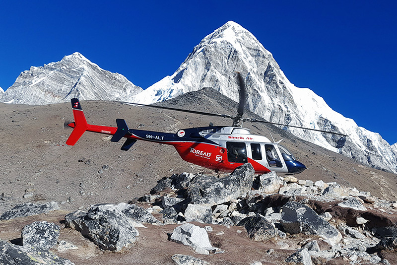
Everest Base Camp Helicopter Tour
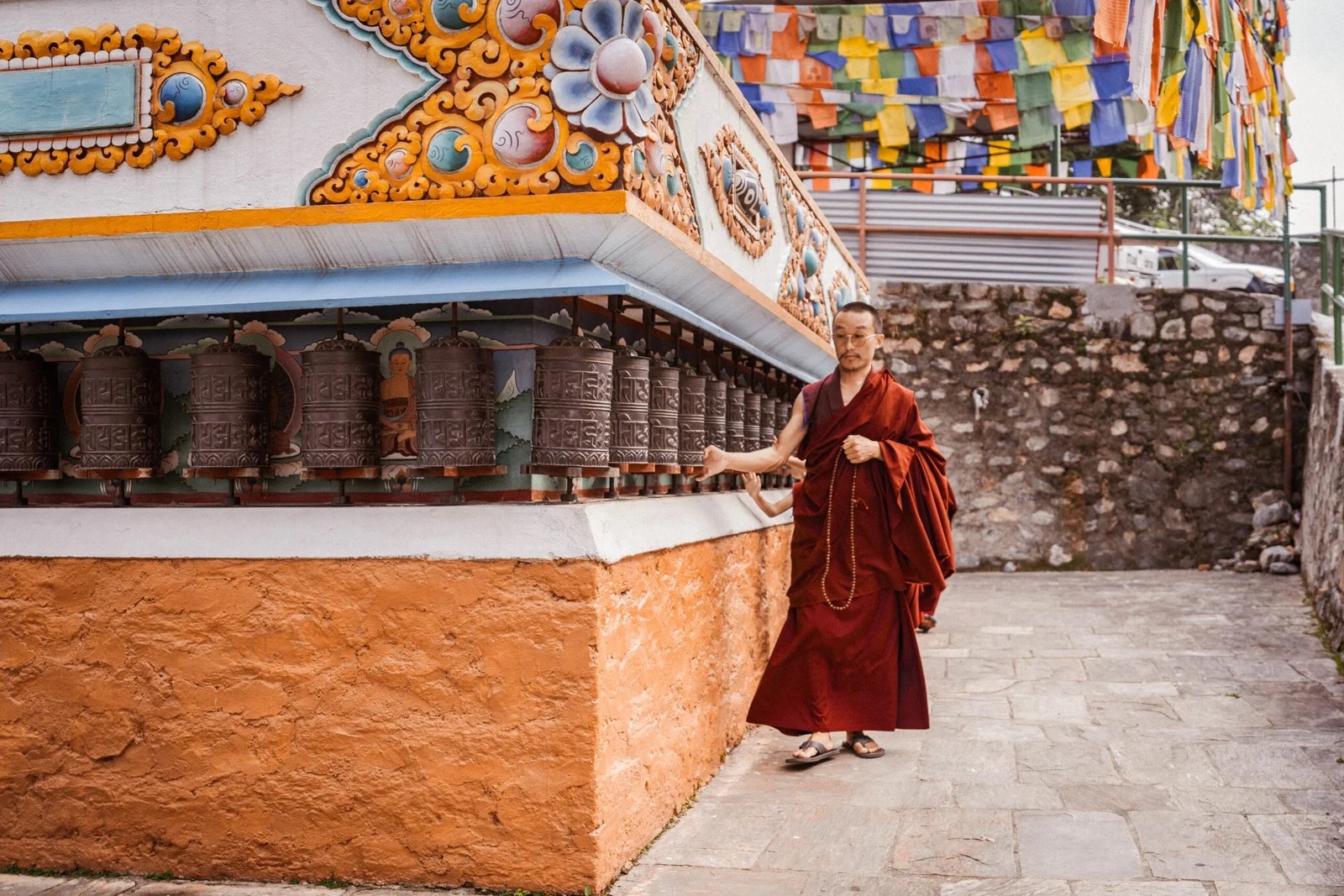
Monastery Stay Tour
